idfg-badge

Idaho Fish and Game

Request Data

The Idaho Fish and Wildlife Information System (IFWIS) has site-specific information on observed locations of species with special conservation status.

All data requests follow a standardized process:

  • Upon submission, the relevant Technical Assistance Manager is notified based on the project area and description.
  • Our staff will then determine the most effective approach to fulfill your data request.
  • Staff may contact you to gain further insight into your project's goals and needs.

The data type and product you receive depend on the discretion of regional Technical Assistance Managers, and the speed of handling your request relies on staff availability. This typically can take 1 to 3 weeks to complete. Therefore, we kindly request your patience and understanding when submitting a data request.

 

A variety of data products may be offered

ProductPrice

Openly Available Data

Many of our GIS data layers are available for free on our Open Data Portal, including our roadkill data and movements and migration pdfs.

Free

Small Projects 

For a base cost of $200 we provide a GIS file geodatabase of biological layers around a project feature with up to a ten mile buffer.

$200

Large Projects 

For larger projects that span greater than 50% of a county's area we provide a GIS file geodatabase of biological layers around the project area with up to a ten-mile buffer as the base price ($200) + $300.

For projects that involve multiple counties, we combine both approaches and then select the lower amount.

$500

Become a Partner

Become an annual sponsoring partner. Learn more about becoming a partner and find our list of current data partners.

Inquire
Indicates required field

IFWIS Data Request Form

Contact Information
Please enter your job title or description
Company, agency, or organization name
Mailing Address
If Billing Address is different, please provide
Project Information
A description of the project and purpose for the data request.
A description of the specific data or data sets you are requesting.
GPS coordinates or directions to the site
Upload geospatial resources  to further explain or detail the data request. 100MB limit. 20-uploads max.
Maximum 20 files.
100 MB limit.
Allowed types: zip, tar, rar, gz, kmz, kml, geojson, json, jpg, png.
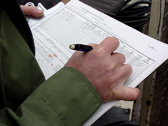
tight shot of check station data report being filled out November 2000

Example of how to cite the Species Diversity Database.

Idaho Department of Fish and Game. Idaho Fish and Wildlife Information System, Species Diversity Database, Idaho Natural Heritage Data. Accessed month day, year.